
Mapping the future of malaria in Africa
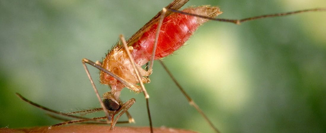
According to World Health Organisation, nearly half of the world’s population is at risk of malaria. In 2019, 94% of global cases of malaria and deaths caused by malaria were in Africa. Concerted national efforts have succeeded in cutting malaria mortality by 44% globally over the past decade, but some regions – like the Western Province of Zambia – have seen an increase in cases over the past decade. Research was needed to understand why public health interventions, such as bednets and spraying houses with insecticides, were working well in some areas but not in others. University of Lincoln researchers Professor Chris Thomas and Professor Mark Macklin led a collaborative team – involving partners in Zambia, the UK and in Canada – to create this understanding.
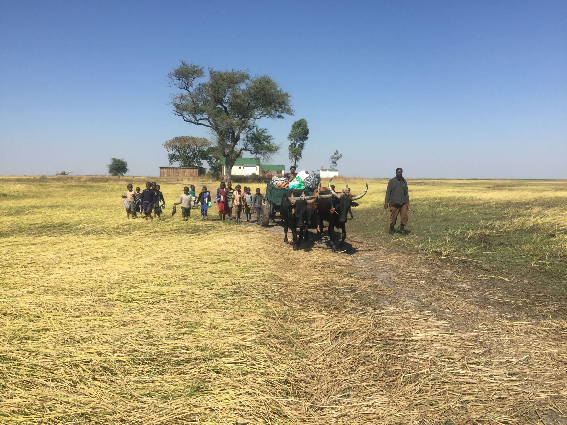
The study focused on building a clearer picture of the mosquito species that were most prevalent in Zambia’s Western Province, a region dominated by the Barotse floodplain, a vast network of wetlands flooded seasonally by the Zambezi River. By gathering a series of field data from the region (in 2017 and again in 2019) – including hydrology and mosquito surveys in wet and dry seasons, combined with satellite remote sensing and models of seasonal flooding – the researchers discovered that the majority of mosquitoes in the Barotse floodplain were so-called ‘secondary vector’ species, widely distributed across the region. Whereas ‘primary vector’ species are most likely to bite people indoors and at night because they are specialised to bite humans, secondary species tend do their biting outdoors during the day and at dusk. This means they are more likely to evade bednets and indoor spraying that work well against primary species and provides a possible answer to why public health interventions that were working in many other areas of Zambia were not as effective in this region. The team also found that very extensive areas in Western province were made up of relatively deep, cold and fast flowing river habitats that provided suitable breeding areas for secondary vector species, and that these lasted for many months of the year from flooding of the Zambezi, thus extending the potential transmission of malaria well beyond the rainy season.
These important findings prompted the extension of the approach to map the prevalence of malaria, not just for the whole of Zambia but across the African continent. While these were not the first continental-scale models of malaria, they did introduce a novel element. Rather than simply combining temperature models with rainfall thresholds to create estimates of mosquito habitat, these new maps adopted the approach from the Barotse project, incorporating instead a more realistic representation of surface water arising from the rains as it runs off through drainage networks and river corridors. The results showed how stable malaria transmission can extend along rivers beyond the rainy season and into otherwise arid areas – a fact well-known on the ground but not previously captured by models, which means regional differences in transmission season are highlighted and more sophisticated projections of malaria distribution with climate change can now be made.
Our goal of malaria elimination remains a top priority for health in Zambia and the results from this research make a significant contribution to this effort
Zambia Ministry of Health
Applying the research to public health strategy
Given the prevalence of malaria across Africa, the research carried out by the Lincoln team has significant ramifications for policy:
- It has already been used by the Zambia Ministry of Health to inform their thinking about malaria prevention and control in the Barotse region. The mapping will help the Ministry of Health to pinpoint specific areas where different interventions are needed.
- The ‘knowledge platform’ created by the team is being used by Zambian researchers to explore and address climate-related challenges to HIV treatment, maternal and child healthcare, and food security.
- The research has demonstrated the value and relevance of environmental mapping to public health officials.
- The extension of the mapping across the African continent has created high quality, high resolution environmental information that can be used by African nations to prepare for future challenges. By demonstrating where the prevalence of malaria is most and least likely to grow, policy makers can make better informed decisions about where to direct resources.
Find out more
If you’re interested in the finding out more about this research, or the broader work of the team, you can visit the Lincoln Centre for Water and Planetary Health online here. You can also click on the links below to discover the people behind the projects.
- Professor Chris Thomas, Global Professor in Water and Planetary Health
- Professor Mark Macklin, Distinguished Professor of River Systems and Global Change
Read more
- Malaria: new map shows which areas will be at risk because of global warming, published in The Conversation
- This disease kills 400,000 people a year. A new map shows where climate change will make it worse, published by the World Economic Forum